Watkins Glen State Park and Its Waterfalls
Nothings says get out of bed early like the prospect of a day of waterfalls.
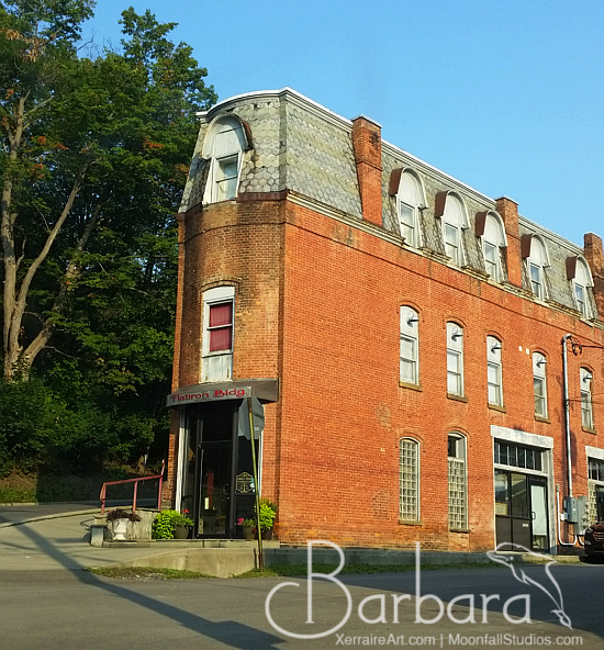
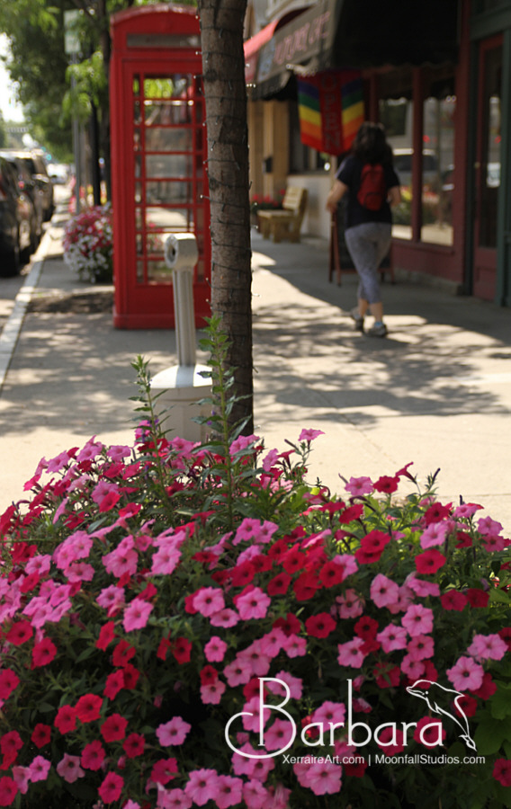
That is how Laura and I started, but before we hit the waterfalls of Watkins Glen State Park, we decided to visit its town and search for coffee.
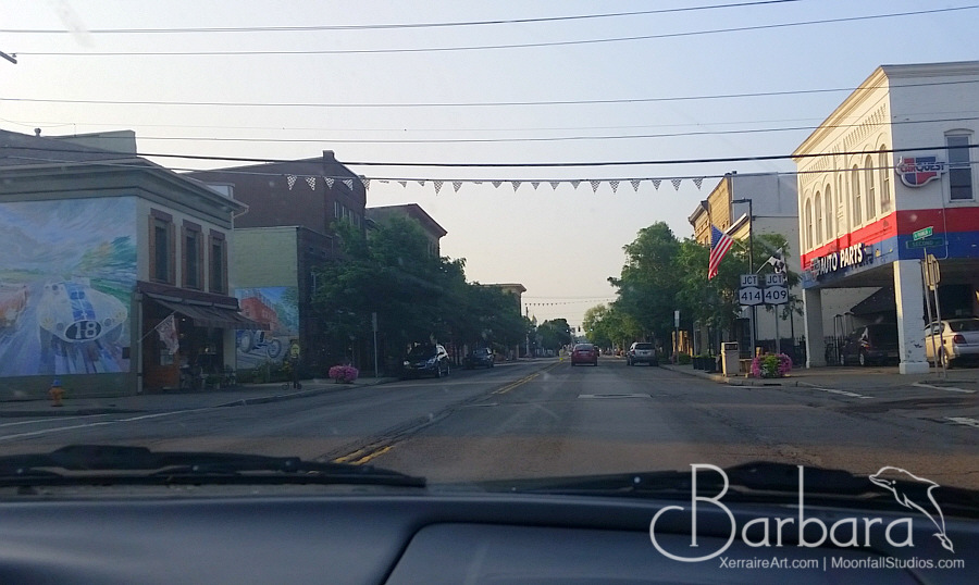
One of the things we learned about Watkins Glen, is this was a town that loved racing, which is why we saw murals with race cars and the intersections donned with racing flags.
We later learned that this town of about 1800 people get descended upon by hundreds of thousands of people for racing events it holds, and that we just happened to be lucky to pick the week we did as the week before it was just one of those events and the next week was another one.
The town is noted for its role in auto racing, being the home of a street course used in road racing, a famous racetrack, Watkins Glen International, which has hosted the Monster Energy NASCAR Cup SeriesI Love New York 355 at The Glen, IndyCar SeriesGrand Prix at The Glen, and the IMSA SportsCar Championship6 Hours of Watkins Glen.
The racetrack was also the scene of the 1973 Summer Jam at Watkins Glen rock festival attended by an estimated 600,000 people, nearly twice the crowd at 1969’s historic Woodstock Festival and a world record for the largest number of people at a pop music festival. The concert featured The Allman Brothers Band, The Grateful Dead, and The Band. On July 1–3 of 2011, the band Phish hosted Superball IX, a three-day music festival on the same grounds of the Summer Jam of ’73.
Watkins Glen is also the home port for True Love, an 84-plus-year-old schooner that has been featured in several Hollywood movies, including High Society (1956) and The Philadelphia Story (1940)
The first settlement of European peoples in the area began circa 1800. Watkins Glen was the northern terminus of the Chemung Canal, started in 1830 and completed in 1833, connecting Seneca Lake to the Chemung River. Catharine Creek, flowing into the lake through the village, was used to help create the canal. The village was incorporated in 1842 as Salubria, then Jefferson, but was renamed Watkins after Dr. Samuel Watkins, the founder, for his contributions to the community. The current name Watkins Glen was adopted in 1926.
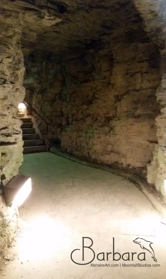
So Laura and I got breakfast, coffee, and then parked the car and paid our ticket to go into Watkins Glen’s State Park. First we mistakenly parked at the upper entrance, elevation 1,010 feet, but we really wanted the main entrance, 404 feet. That was going to be significant information for later.
The Gorge Trail is closest to the stream and runs over, under and along the park’s 19 waterfalls by way of stone bridges and more than 800 stone steps.
800 steps. Up and down, but mostly UP. What made it easier, was the 19 waterfalls. Every step taken, every corner turned, was a new wonder to look at, which made the walk worth it.
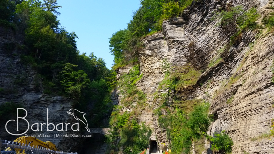
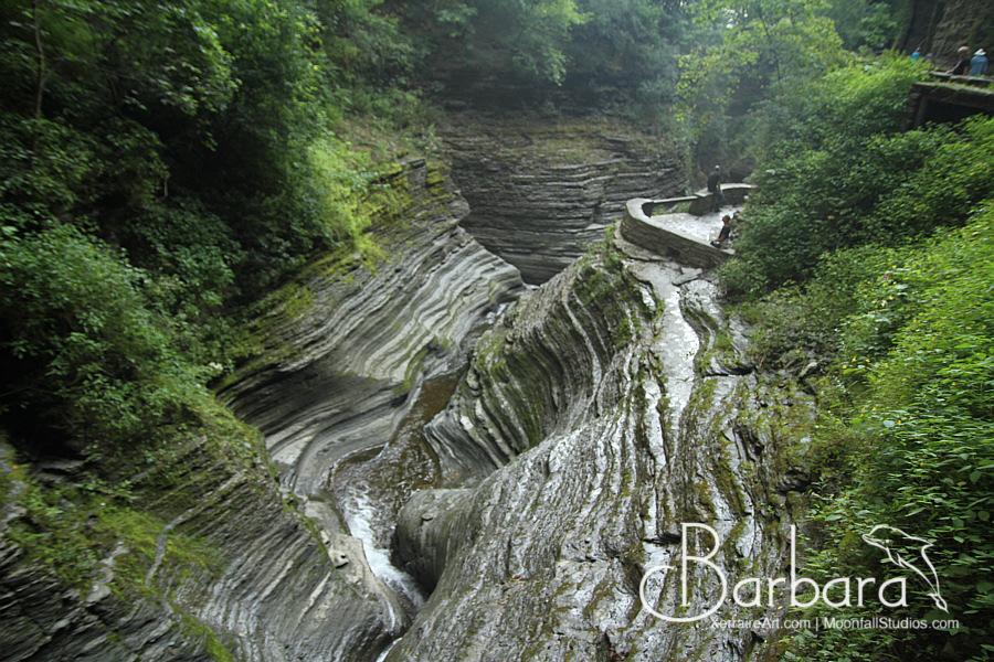
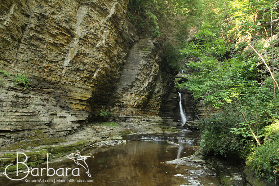
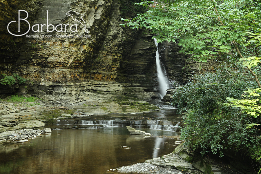
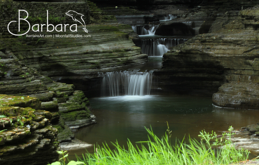
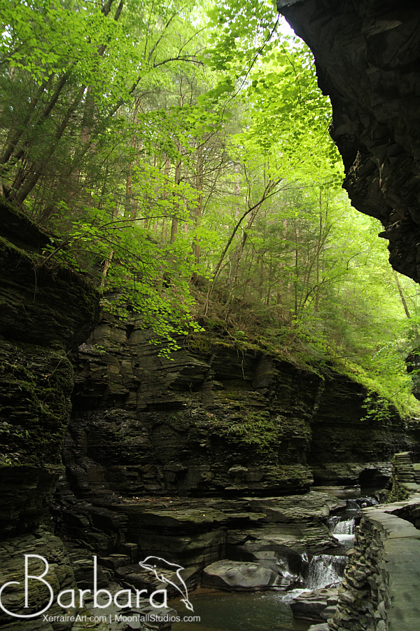
I don’t know how to describe what it was like paying for the ticket and entering the Glen…but I think I felt something like Alice going through the looking glass, we were transferred that quickly from a town, to a place of wonder and magical, natural, beauty. A few steps backwards, weren’t we in a town? Now we were surrounded by tall walls of layers upon layers of hard rock, with water running down almost every one of them.
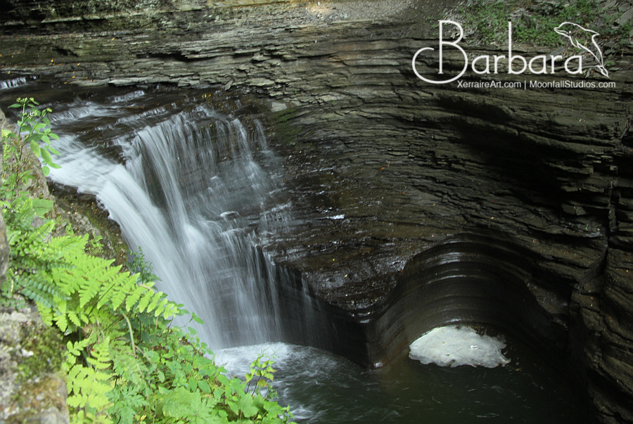
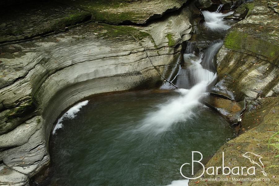
I am not sure how they count the waterfalls, as in some places, one seems to continue to another. Is it one, two? Sometimes part of the waterfall is hidden until you turn a corner.
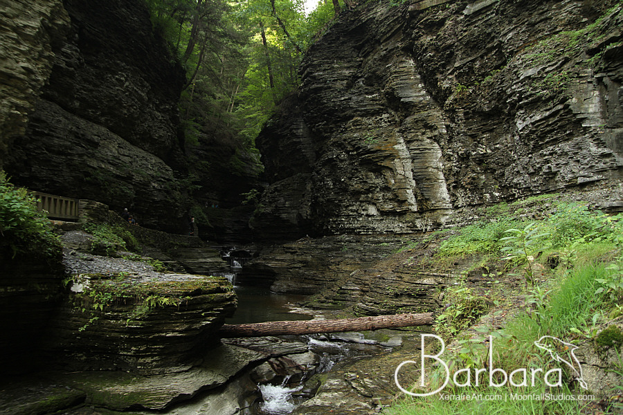
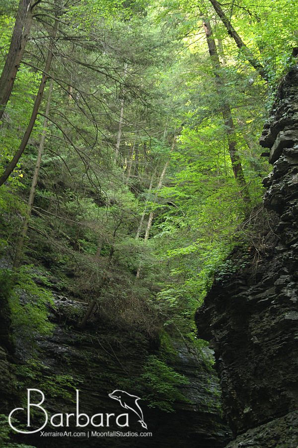
Besides the water of this place, I also couldn’t stop and wonder of the lush green forest over head of us.
It was about this time that we realized the Gorge was becoming quite crowded. We were so glad we got there as early as we did to enjoy this in relative peace so far.
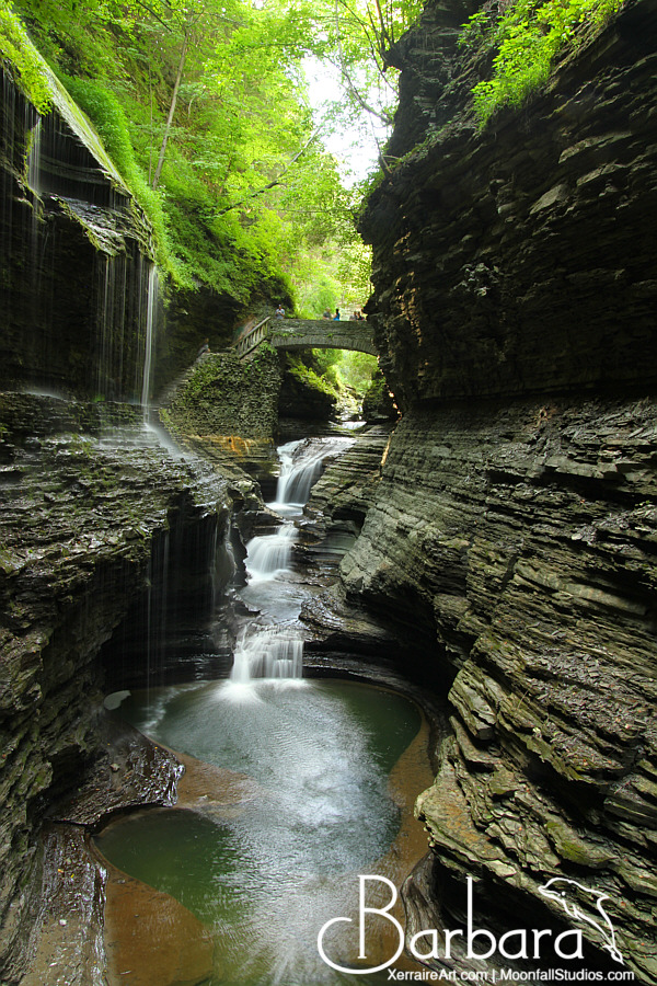
Apparently, this is the view most people come to see. This is known as Rainbow falls, because if you come in the afternoon, rainbows form when the afternoon sun hits the water.
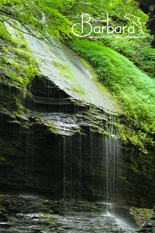
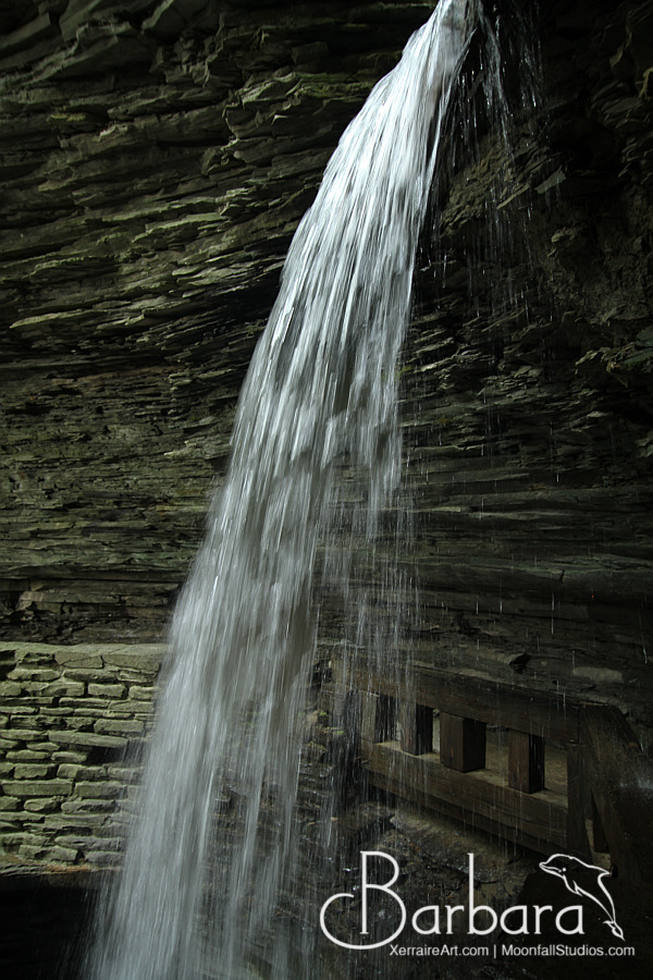
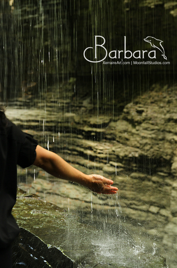
I became fascinated with this part of the view, a rather thin veil of falling water that you could walk under.
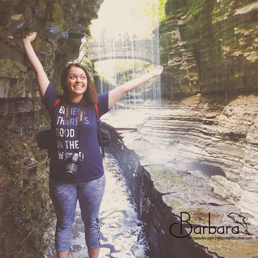
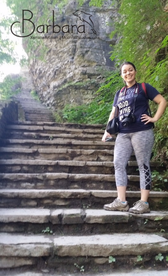
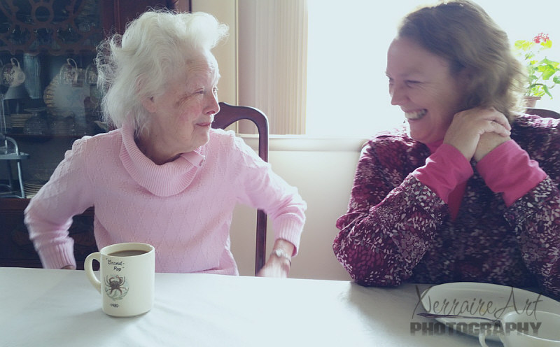
In spite of the thousands of dollars in camera equipment between us, and about 40 pounds carrying it, one of my favorite shots of the day was taken with Laura’s phone. Love seeing her so expressively happy.
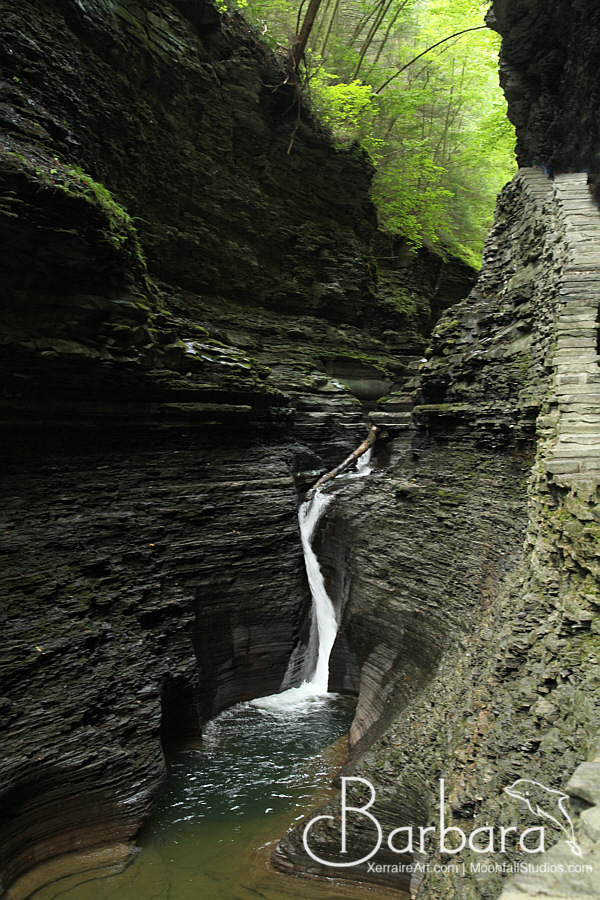
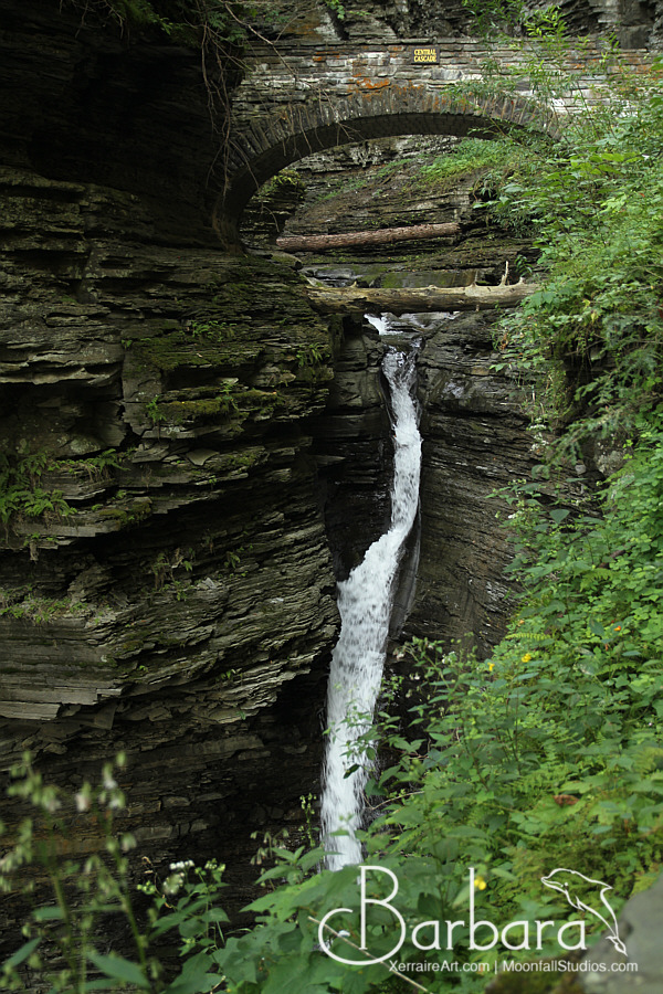
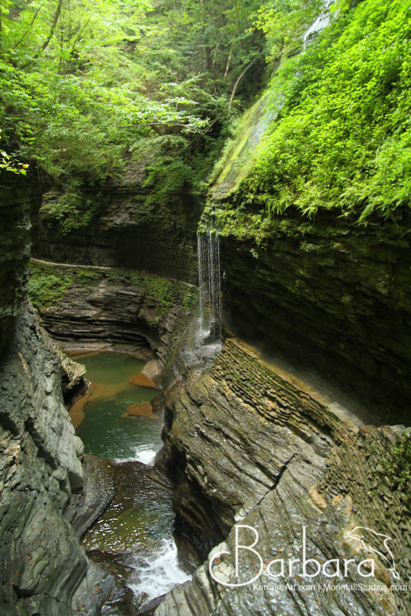
About 3/4 of the way through the gorge, I just loved the drama of the falls into the darkness with the sunlit trees above.
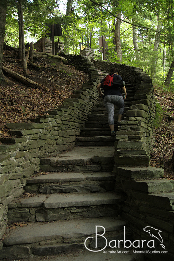
The whole time we walked this gorge, I was a little troubled about this place marked on the map called “Jacob’s Ladder.” I know in life, what Jacob’s Ladder in other parts of the world. My fears were realized as we walked 180 steps straight up.
So glad at the end of that there was a bus to take you to the main entrance.
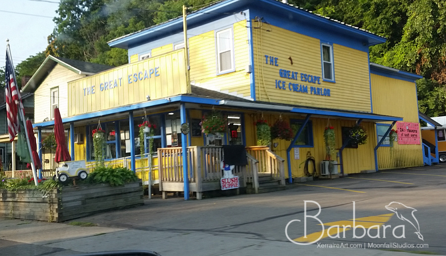
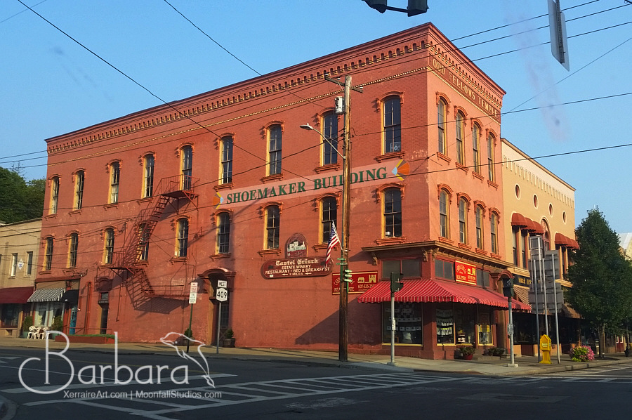
What a beautiful experience. We had a long drive ahead of us, and since we took the bus to the parking, this gave us some time to walk around the cute town and have some lunch.





No Responses
[…] Again. (Our first trip here) […]