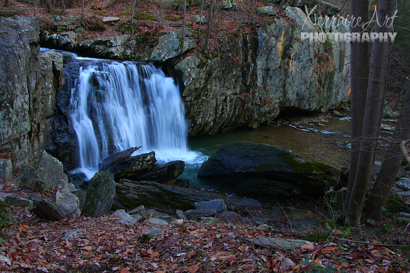
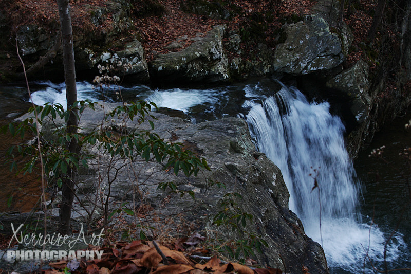
Conowingo Dam and Rocks State Park
Laura, Jenny, Donna, and I had a great day in Harford County today.
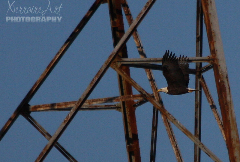
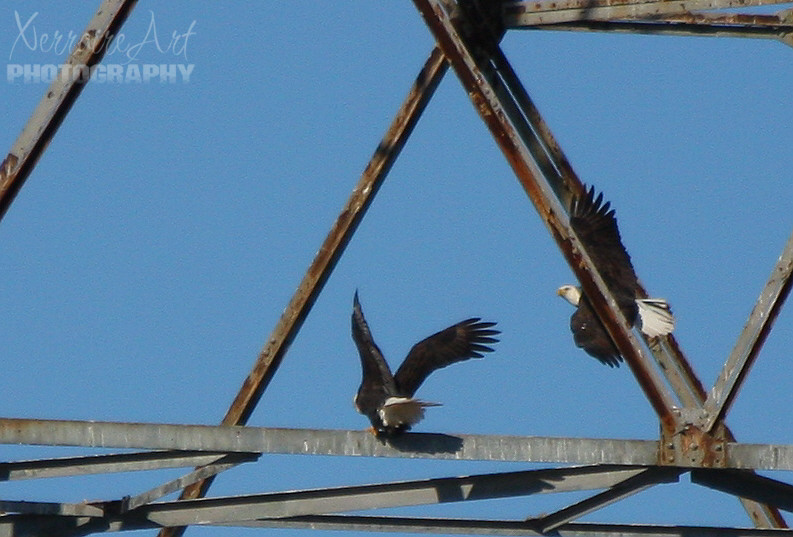
I’ve been anxious to go to Conowingo Dam for years now, as this time of year there are supposed to be a lot of eagles there. I was a little disappointed as there were a few, but not as many as I had hoped for.
A little about Conowingo Dam from Wikipedia:
The Conowingo Dam (also Conowingo Hydroelectric Plant, Conowingo Hydroelectric Station) is a large hydroelectric dam in the Lower Susquehanna River. The dam, one of the largest non-federal hydroelectric dams in the US, is classified as a medium height, masonry gravity type dam. The dam is located in Maryland, spanning the Cecil and Harford county border — 9.9 miles (16 km) from the river mouth at the Chesapeake Bay, about 5 miles (8 km) south of the Pennsylvania border and 45 miles (72 km) northeast of Baltimore.
The dam is named for the town of Conowingo, Maryland. The original location of Conowingo is now under the waters of the reservoir created by the dam. The town was relocated during construction of the dam to its present location about 1-mile (1.6Â km) northeast of the dam’s eastern end. The area, as per the 1612 John Smith map, was originally known as Smyth’s Falls.
A few photos of our day.. (Click on the picture for a larger image)
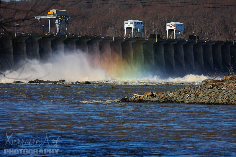
Conowingo Dam. On September 9, 2011, 44 flood gates were opened due to the impact of the remnants of Tropical Storm Lee. The Susquehanna River behind the dam was 32.41 feet (9.88Â m), the third-highest in history. The town of Port Deposit, located 5 miles southeast of the dam, was evacuated.
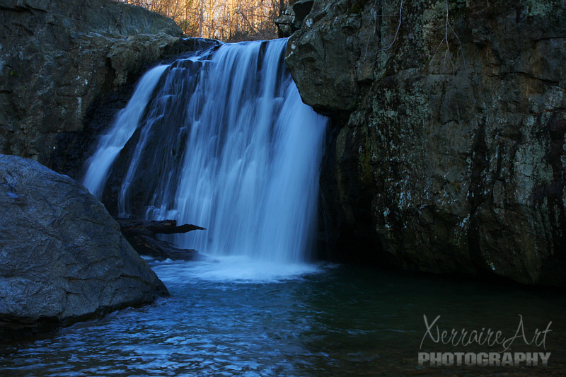
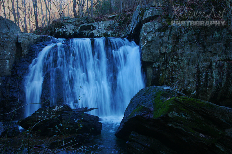
After freezing at Conowingo Dam, we traveled to Rocks State Park, where because of the high waters, we had a few issues navigating to the falls without getting wet.
So we had a great day. I was happy to treat myself to a day out and Donna did the driving which was a bonus! We came back home tired and cold, but very thankful for safety and fun together!

